- Kensei Area
- Landscape
Mount Hane and Mount Kirikabu
Photography/TAKEUCHI Yasunori
Heart-warming Flat Top Mountains
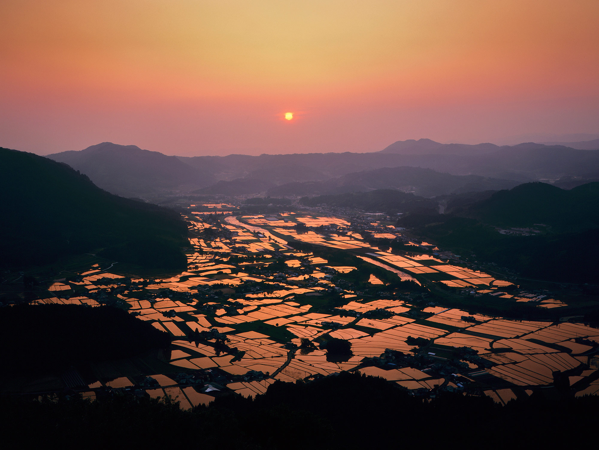
Standing in the middle of the Kusu Basin looking around, you will feel naturally relaxed. The surrounding mountains are lined with flat peaks, nestled in the calming landscape. It’s like you’ve entered into the world of fairy tale you read when you were little. That’s right, Kusu is known as “Dowa no Sato” (Village of Fairy Tale).
It is called “The Village of Fairy Tale” for being the home of Takehiko Kurushima, known as the Japanese Hans Christian Andersen, but these mesa mountains must support the claim in the background. “Mesa” is a tableland with four cliffs, derived from a Spanish word for table. Even nationwide, the area with such many “mesa” mountains is quite rare.
Among them, Mount Hane is a double mesa listed in the “100 Top Geological Sites of Japan.” At the elevation of 1140 meters, it defines the southern end of the basin. For Japanese people, it is hard to read the characters “Haneyama” as they are not normally pronounced like this. There are several theories of the origin, but it could be assumed that “Ha” stands for “the end,” and “Ne” for “the peak,” meaning “the mountain at the end of the basin.” The characters were changed to ones meaning “year of flags,” then to “eternal years” to make them look better while keeping the pronunciation.
A 360-degree panoramic view is available from the top of the tableland where the meadow spreads across. It includes the Kuju Mountain Ridge to the southeast, Yufu to the east, Yabakei and Mount Hiko to the north, Mount Aso to the south, and the mountains in Tsue to the west. They are filled with many flowers in the grassland, including Kyushu Azalea. Mount Kirikabu is a mesa mountain of 690 meters in height, standing in front of Mount Hane with a shape of a stump (“Kirikabu” in Japanese literally means a tree stump). A road leads to the top, where the ruins of the medieval Kusu Castle remain, offering a great view overlooking the basin.
A legend says this was a camphor tree (“kusunoki” in Japanese). In the Bungo no Kuni Fudoki (“Report on the Culture of Bungo Province”), it tells of Kusu that “there was a big camphor tree (Kusunoki), therefore the place was called Kusu.” The legend of a giant man who cut it down is just too famous. It’s one of the most well known giant legends in Oita.
Other mesa mountains around the basin are in sizes around 600 to 800 meters, including the national natural monument Mount Ogansen, Mount Kogansen, Mount Takara, Mount Aoya, Maki no Taira, Mount Takanami, and Mount Kagami. Mount Tsunomure, famous for its castle ruins, is butte terrain with a narrow peak.
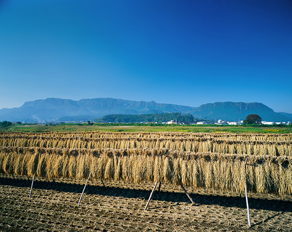
A relaxing landscape with a view of Mount Hane (above) and Mount Kirikabu (below), in the background of harvested rice hanging in the field.

